Living Heritage
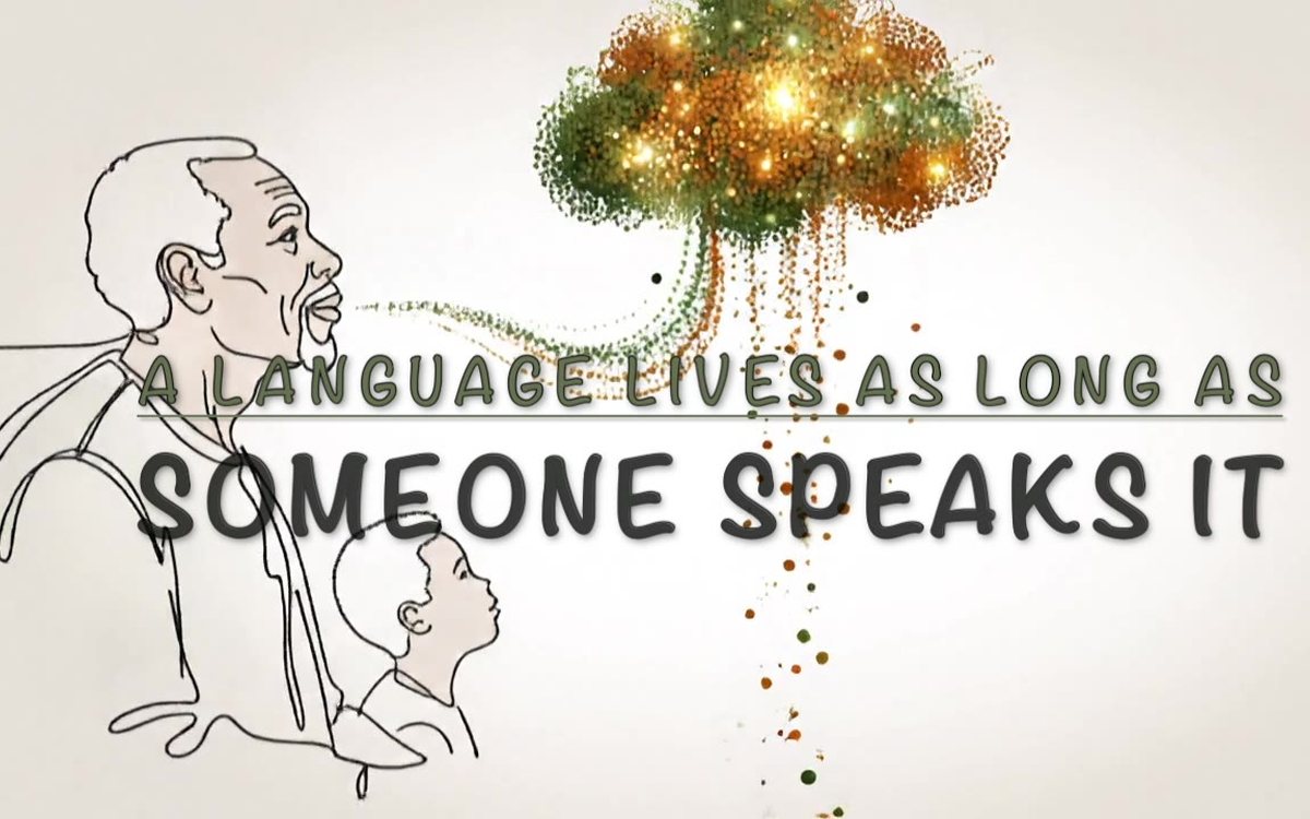
A community-governed platform to preserve, teach and celebrate Secwépemc language and culture, with other languages in their own homes. Nothing is shown until a person from the community approves it.
AI wildfire risk, smoke and community preparedness for the Thompson-Okanagan.
WildfireIQ brings the signals a community needs into one live 3D map of the Thompson-Okanagan: where fires are burning, where satellites see heat, which areas are under evacuation orders, how dangerous the fire weather is, and where smoke is heading. Camera presets jump between Canada, the region, Kamloops and the TRU campus.
On top of those open data feeds sits an AI risk grid: an in-house model trained on BC Wildfire Service and weather data that estimates the chance of a fire in each area today. The project grew out of three funded wildfire studies covering prediction and response, community air-quality preparedness and post-fire reforestation analysis.
WildfireIQ is a research prototype for planning and awareness. In an emergency, always follow instructions from the BC Wildfire Service, BC Emergency Management and your local authority.
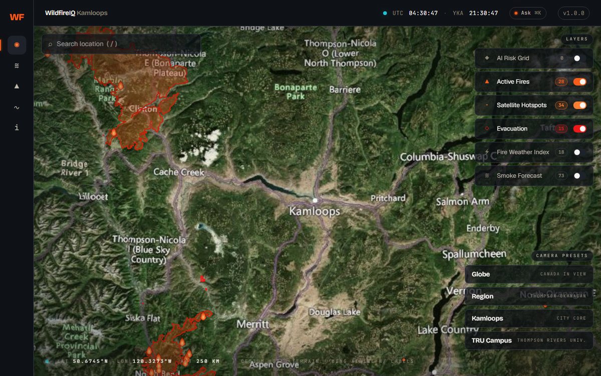
Preview of the live demo. Open it in a new tab ↗
An in-house AI model trained on BC Wildfire Service and weather data gives each of four regions a daily chance of fire.
The BC Wildfire Service fire list, refreshed every 15 minutes, with size in hectares and containment for each fire.
NASA FIRMS heat detections (VIIRS and MODIS). A hotspot is a signal worth a look, not a confirmed fire.
The official BC Emergency Management zones, drawn as issued. The Preparedness Hub uses them to answer whether an address is inside a zone.
Calculated every 30 minutes for about 18 BC towns with Canada’s official equations, from recent weather data.
Environment and Climate Change Canada’s smoke model on the map, with a PM2.5 forecast for Kamloops and an air-quality page with pollutant detail.
Every layer explains where its data comes from, how often it refreshes and what it cannot tell you.
Residents can check their own address against evacuation zones and see the information that matters before an emergency.
A built-in assistant answers questions about what is on the map.
Risk is shown as a probability, hotspots are labelled as unconfirmed, and data gaps are stated instead of hidden.
| Year | Project | Funder | Amount | Role |
|---|---|---|---|---|
| 2026 | Intelligent Wildfire Management System: Data Collection, Prediction & Response | TRU GRA Grant | $5,000 | PI |
| 2026 | AI-Powered Wildfire Risk, Air Quality & Community Preparedness Platform, Thompson-Okanagan | TRU Sustainability Grant | $2,500 | PI |
| 2026 | AI-Driven Wildfire Management: Post-Fire Reforestation Analysis | TRU Sustainability Grant | $2,500 | PI |
A community-governed platform to preserve, teach and celebrate Secwépemc language and culture, with other languages in their own homes. Nothing is shown until a person from the community approves it.
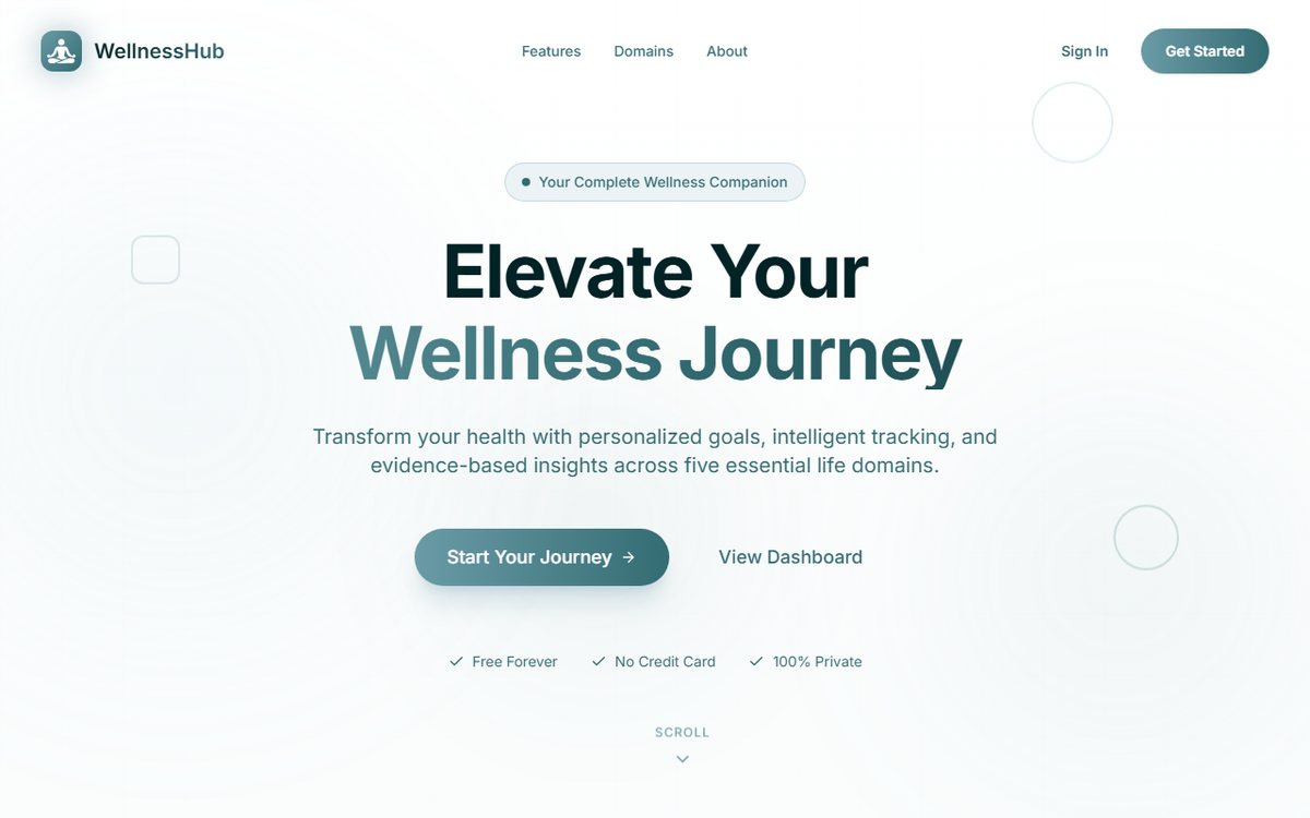
The flagship of AI for Health & Healing: goal setting, tracking, insights and an AI coach across five wellness domains, with private data. Demonstrated live to BC’s Minister of State for AI.
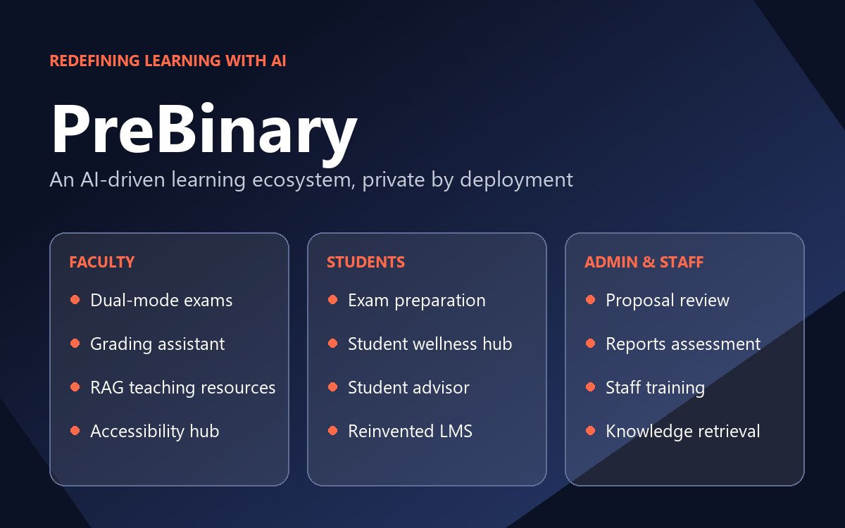
A next-generation learning platform for students, faculty and administrators that runs private, independent models and lets each feature use the AI model that suits it.
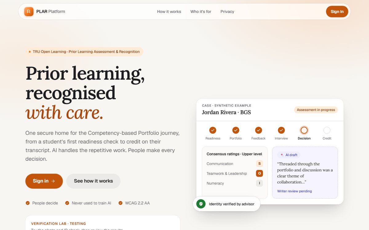
One secure home for the Competency-based Portfolio journey at TRU Open Learning, from a student’s first readiness check to credit on their transcript.
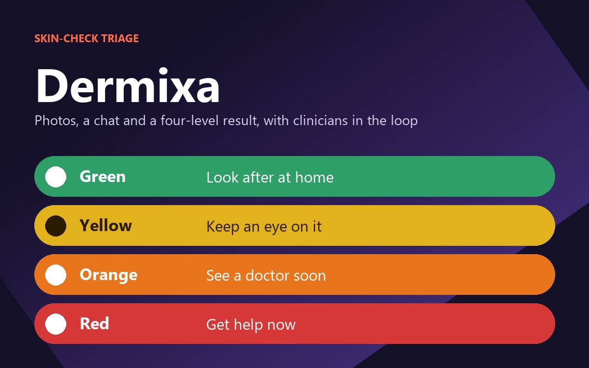
An AI skin-check app that turns a short chat and photos into a clear four-level result with self-care plans and hospital referral, managed through a clinician console.
AIRL works with universities, public bodies, communities and industry through Mitacs, tri-council programs and direct partnerships.